7.8 C
New York
Friday, April 19, 2024

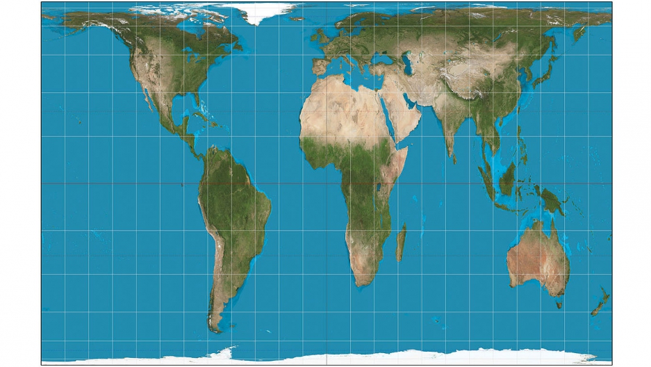
Boston Public Schools Teach with New More Accurate Map Showing Africa’s True Size

There’s nothing like a map to help explain the world. But some maps do a better job of it than others. Which is why Boston’s public schools have adopted new world maps for some of their classrooms. And, the district claims that it’s the first public school system nationwide to make the switch.

The new maps replace the traditional, rectangular maps made using the 16th-century Mercator Projection method that was introduced back when Europe ruled — and exploited — much of the world. Mercator world maps emphasize the colonial-era Atlantic Ocean trade routes and distort the relative sizes of continents so that, for example, Greenland appears to be bigger than Africa. (It’s not.)

Other distortions inherent in the Mercator Projection display a kind of territorial superiority. Simply put, predominantly-white countries are huge seeming, while nonwhite-majority countries are rather small, in comparison.

Read The Full Story HERE

Related Articles

Stay Connected

0FansLike
3,912FollowersFollow
0SubscribersSubscribe
- Advertisement -spot_img

Latest Articles